
Advancing Forecasting Science with Riverside
Riverside’s collaboration with the National Weather Service (NWS) and NOAA has been instrumental in pushing the boundaries of scientific advancements in river, flood, and drought forecasting. Leveraging over three decades of expertise, Riverside’s specialists develop cutting-edge research-to-operational systems that analyze atmospheric data. These systems generate models and forecasts crucial for guiding responses to floods, droughts, and water supply management. By enhancing NOAA’s capabilities, Riverside contributes significantly to improving the resilience of communities worldwide.
Innovative Solutions for Integrated Water Management
Within its partnership with NOAA, Riverside pioneers the infusion of new science and technology into integrated water resources management. By formulating, planning, and executing specialized hydro-meteorologic, hydrologic, and hydraulic modeling, Riverside generates advanced hydrologic forecasting products. These innovations not only enhance forecasting accuracy but also aid in effective water resource allocation and management. Riverside’s work extends to calibrating river basin models nationwide, implementing real-time flood inundation forecast maps, and supporting international technology transfer for improved severe weather and hydrologic forecasts.

Driving Progress through Collaboration and Remote Sensing
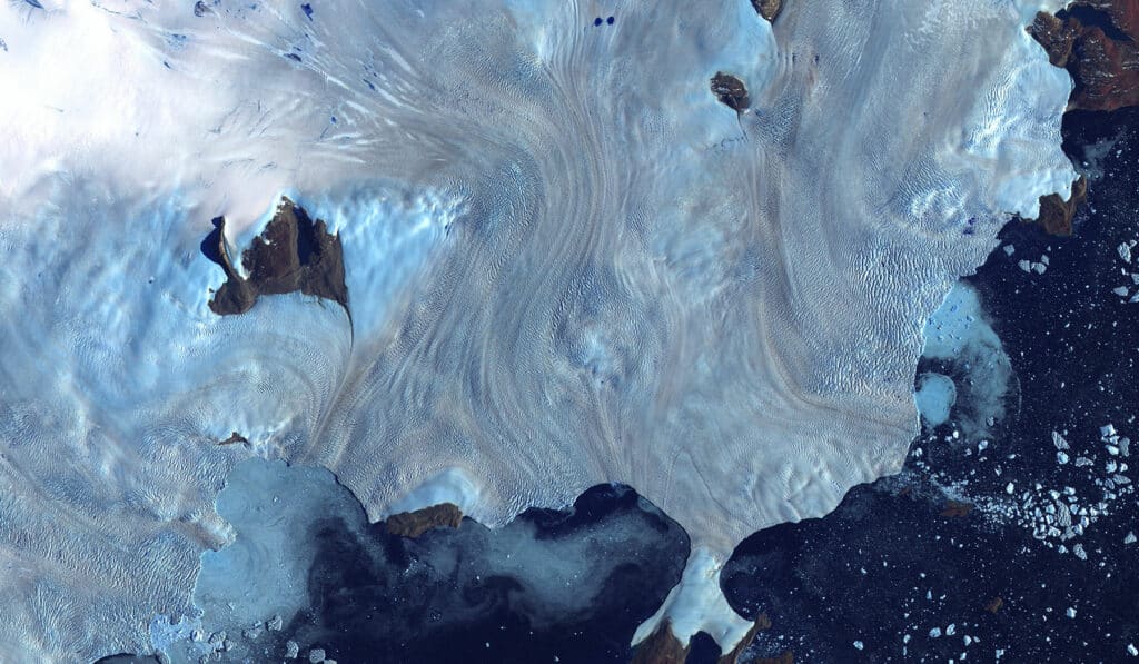
Riverside’s contributions extend beyond NWS and NOAA, encompassing vital partnerships with NASA. By utilizing remote sensing data, Riverside analyzes actual evapotranspiration within irrigated agricultural areas. This analysis, conducted on a monthly and seasonal basis, empowers predictive forecasting and agricultural planning, ultimately bolstering food security and resource management efforts. Through collaboration and innovation, Riverside continues to lead the charge in advancing scientific capabilities, supporting agencies like NASA in their quest for actionable insights from remote sensing technologies.


